


OUR SERVICES
BATHYMETRY & HYDROGRAPHIC SURVEYS
Accurate seabed data with unmanned surface vessels (USV)
Sediment transport, scouring and newly exposed obstacles change the seabed over time, making existing depth data inaccurate. GK NAUTICA carries out bathymetric and hydrographic surveys in ports and all types of marine areas, using a Greek-built autonomous unmanned surface vessel (USV).
Our surveys support port upgrades and safe navigation in line with Directive 2002/59/EC and IHO (International Hydrographic Organization) standards.

ADVANCED USVs
ACCURATE DATA, SMARTER MARINE SOLUTIONS
Up-to-date charts protect existing infrastructure and enable the safe execution of critical coastal engineering works.
WHERE WE APPLY IT:
- Ports, marinas and harbour basins
- Coastal engineering and infrastructure projects
- Environmental and seabed studies in all types of marine areas
HOW WE WORK:
- 1. Survey planning with a pre-defined navigation route
- 2. Scanning of the area by USV with multibeam echosounder, RTK GPS, SONAR and LiDAR sensors
- 3. Topographic survey at 1:10 scale for centimetre-level accuracy of the seabed
- 4. Processing and analysis of the collected data
WHAT YOU RECEIVE:
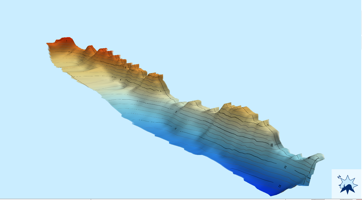
- Bathymetric chart of the surveyed area
- 3D seabed model and 2D maps
- Analysis of seabed features: texture, marine flora and Posidonia, erosion, wrecks, geological formations and changes over time
EQUIPMENT:
- Greek-built autonomous USV with multibeam echosounder, GPS RTK, SONAR and LiDAR sensors